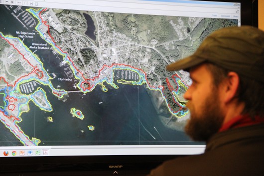
Resident Matt Goff takes a look at a tsunami inundation map published by the Alaska Earthquake Information Center in 2013. Sitka had a tsunami evacuation in January of that year, after a large quake rattled the community. A similar evacuation occured in January 2018, although the earthquake ocurred in the middle of the Gulf of Alaska, and was not felt onshore. (KCAW photo/Rachel Waldholz)
Sitka fire chief Dave Miller and community affairs director Maegan Bosak discuss earthquake and tsunami safety in the community. Both hazards are an ever-present reality on the so-called “Ring of Fire” in the North Pacific. They direct listeners to valuable planning resources for making a family plan and a 14-day survival kit.


